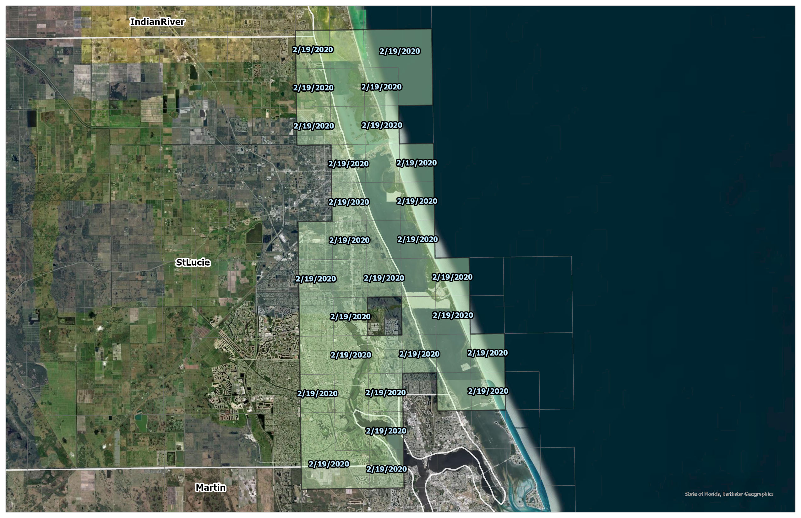
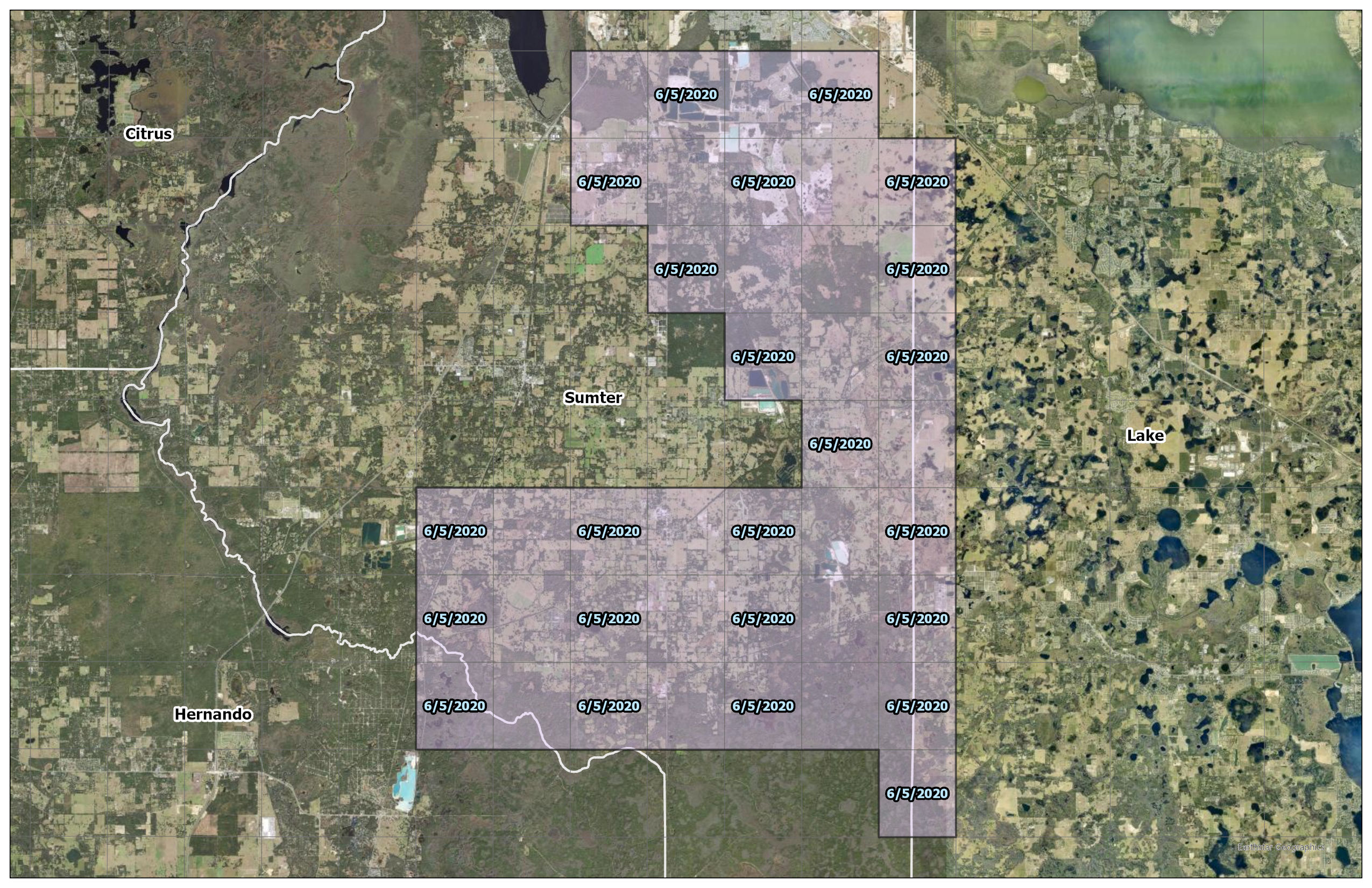
With recent updates to the FEMA Effective Floodplain maps, we wanted to quickly highlight some of the recent counties that experienced changes in floodplain maps. Click each county to view the updated areas:
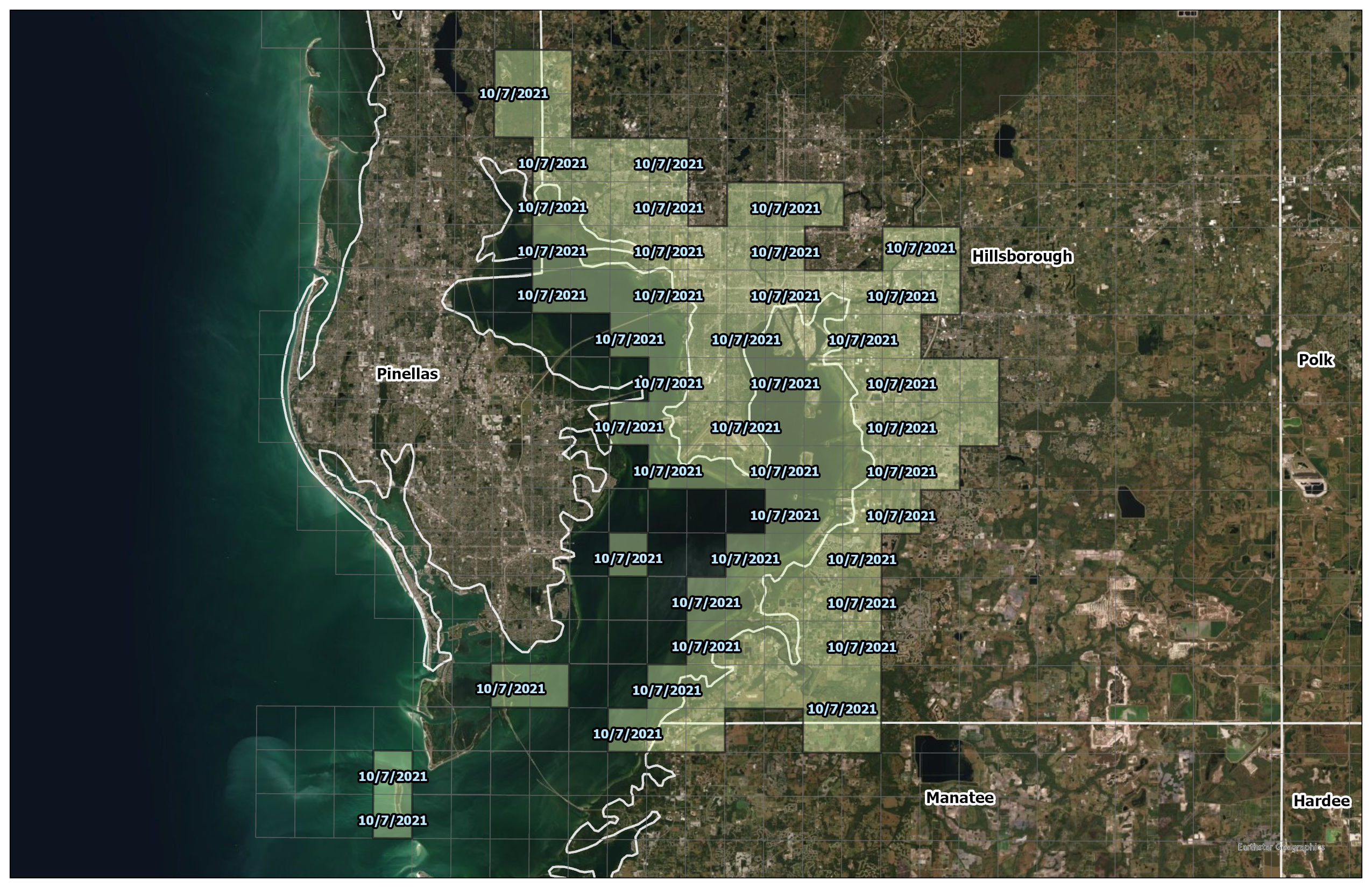
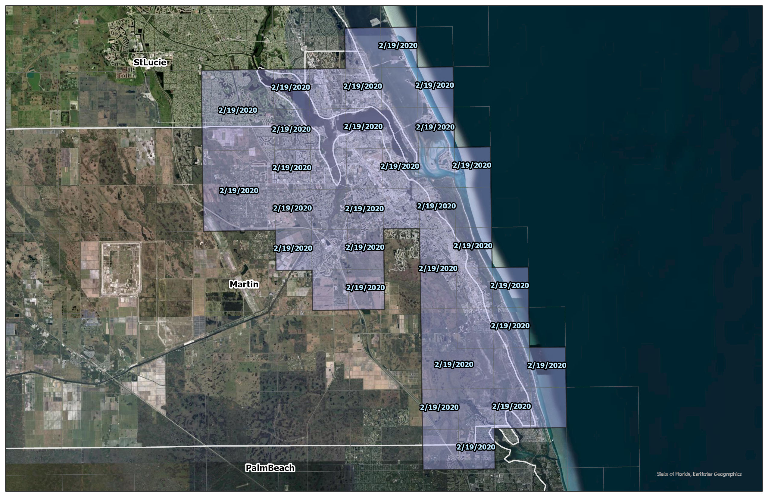
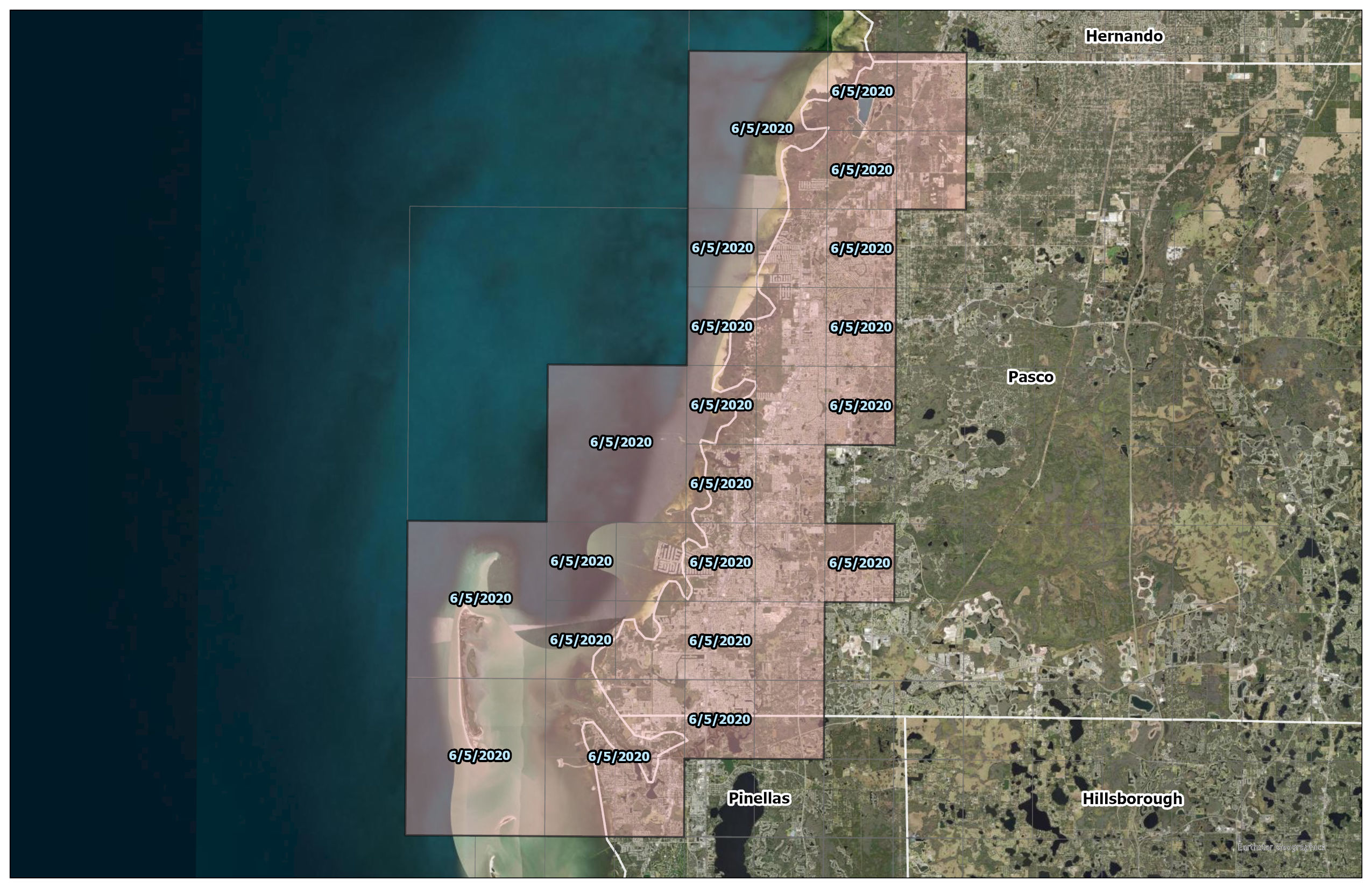
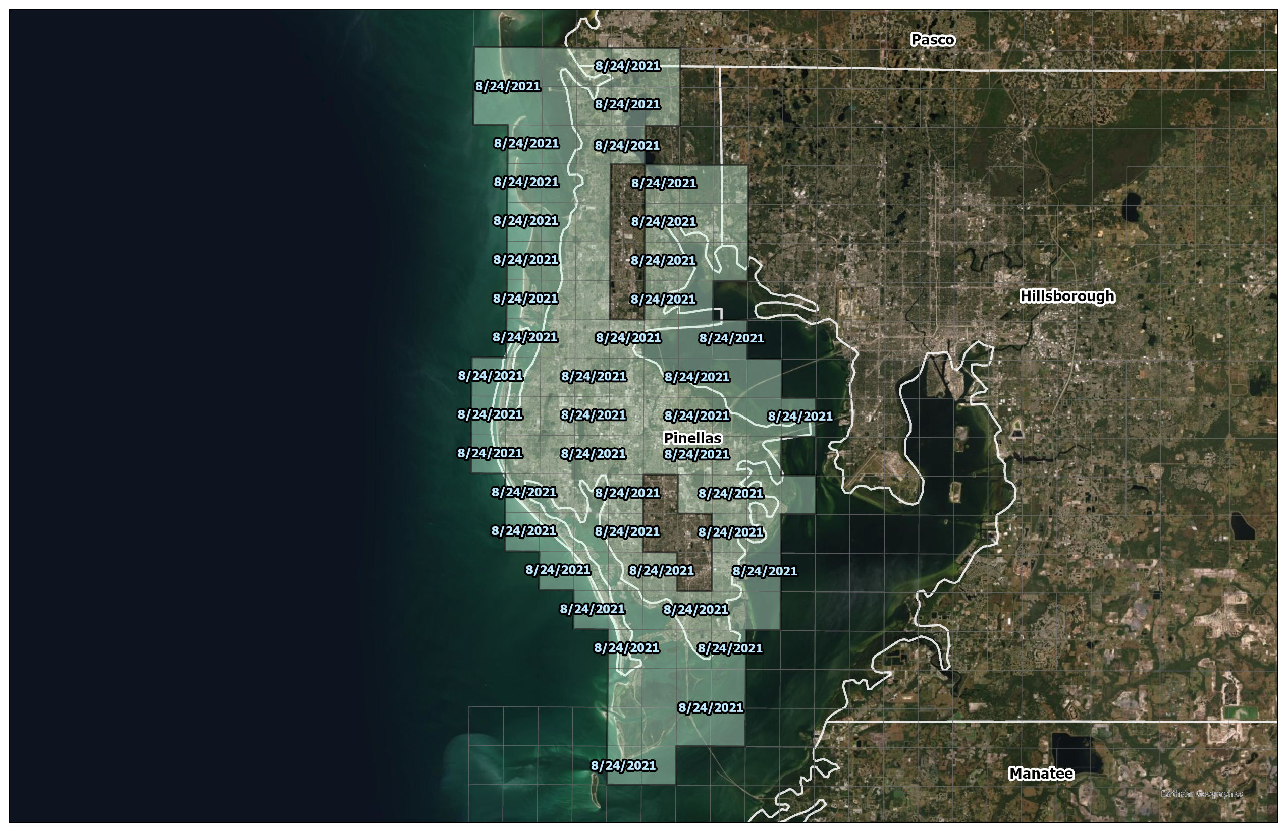
We selected those Flood Insurance Rate Map (FIRM) panels with an effective date after January 1, 2020. Most of these panels are concentrated on the coastally influenced areas of Tampa Bay, including Pasco, Pinellas, and Hillsborough Counties. Some panels in Hillsborough County were updated only a few months ago (October 2021). Through these map changes, some properties are being added to the high-risk floodplain, while others are being removed. It is important to understand how these changes may have impacted your property.
Maybe you have received a notice from your mortgage company informing you of the new map changes and the mandatory requirement to acquire flood insurance? It is possible that you can amend these changes for your specific property, under specific elevation dependent conditions. Do you have an Elevation Certificate (sometimes commonly called a FEMA Flood Certificate)? Contact your local community to see if they have one on file for your home. If not, we can coordinate with one of our local survey partners to complete a new one - click here to learn more.
Use our Letter of Map Amendment Screening tool on our home page to determine your eligibility or submit a direct request through one of our contact forms to learn more.
Taylor Lankford
CTO, No Flood Florida